Transparency Begins with Traceability
That is why documentation is a central part of the Finca Fuente Vieja project — not primarily through words, but through images, data, and the passage of time.
At the center of this documentation are satellite images from Google Earth, making the plantation’s development visible from 2003 to the present day. They reveal what would otherwise remain abstract: the original condition of the land, the destruction caused by coffee rust, the period of overgrowth, and the first visible signs of restoration.
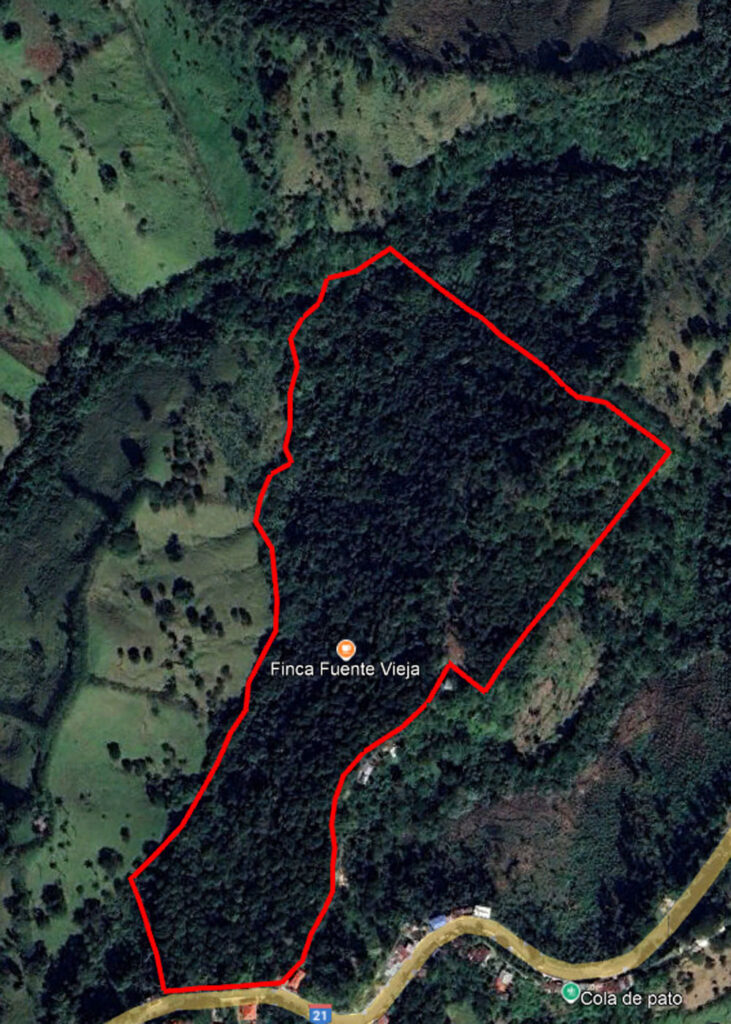
Here, change is not merely claimed — it is documented.
This visual timeline is complemented by photographic documentation from different phases of the project:
- Images from the time the plantation was acquired
- Photographs of the local people and their everyday work
- Documents and photos related to donations and supporters
- Snapshots of the first new seedlings, restored pathways, and maintenance work
The focus is intentionally placed more on imagery than on text. Because development, responsibility, and transformation are often better seen than explained. Each image becomes part of an ongoing chronicle — a mosaic of data points, photographs, and real moments in time.
Diese Dokumentation wächst mit der Finca.
Over the long term, it is meant to show how a damaged piece of land can become a living system once again. Step by step, openly visible, and verifiable.